Reprojection
Rasterio can map the pixels of a destination raster with an associated coordinate reference system and transform to the pixels of a source image with a different coordinate reference system and transform. This process is known as reprojection.
Rasterio’s rasterio.warp.reproject() is a geospatial-specific analog
to SciPy’s scipy.ndimage.interpolation.geometric_transform() [1].
The code below reprojects between two arrays, using no pre-existing GIS
datasets. rasterio.warp.reproject() has two positional arguments: source
and destination. The remaining keyword arguments parameterize the reprojection
transform.
import numpy as np
import rasterio
from rasterio import Affine as A
from rasterio.warp import reproject, Resampling

with rasterio.Env():

    # As source: a 512 x 512 raster centered on 0 degrees E and 0
    # degrees N, each pixel covering 15".
    rows, cols = src_shape = (512, 512)
    d = 1.0/240 # decimal degrees per pixel
    # The following is equivalent to
    # A(d, 0, -cols*d/2, 0, -d, rows*d/2).
    src_transform = A.translation(-cols*d/2, rows*d/2) * A.scale(d, -d)
    src_crs = {'init': 'EPSG:4326'}
    source = np.ones(src_shape, np.uint8)*255

    # Destination: a 1024 x 1024 dataset in Web Mercator (EPSG:3857)
    # with origin at 0.0, 0.0.
    dst_shape = (1024, 1024)
    dst_transform = A.translation(-237481.5, 237536.4) * A.scale(425.0, -425.0)
    dst_crs = {'init': 'EPSG:3857'}
    destination = np.zeros(dst_shape, np.uint8)

    reproject(
        source,
        destination,
        src_transform=src_transform,
        src_crs=src_crs,
        dst_transform=dst_transform,
        dst_crs=dst_crs,
        resampling=Resampling.nearest)

    # Assert that the destination is only partly filled.
    assert destination.any()
    assert not destination.all()
See examples/reproject.py for code that writes the destination array to a GeoTIFF file. I’ve uploaded the resulting file to a Mapbox map to show that the reprojection is correct: https://a.tiles.mapbox.com/v3/sgillies.hfek2oko/page.html?secure=1#6/0.000/0.033. (dead link)
Estimating optimal output shape
Rasterio provides a rasterio.warp.calculate_default_transform() function to
determine the optimal resolution and transform for the destination raster.
Given a source dataset in a known coordinate reference system, this
function will return a transform, width, height tuple which is calculated
by libgdal.
Reprojecting a GeoTIFF dataset
Reprojecting a GeoTIFF dataset from one coordinate reference system is a common use case. Rasterio provides a few utilities to make this even easier:
transform_bounds()
transforms the bounding coordinates of the source raster to the target
coordinate reference system, densifiying points along the edges to account
for non-linear transformations of the edges.
calculate_default_transform()
transforms bounds to target coordinate system, calculates resolution if not
provided, and returns destination transform and dimensions.
import numpy as np
import rasterio
from rasterio.warp import calculate_default_transform, reproject, Resampling
dst_crs = 'EPSG:4326'
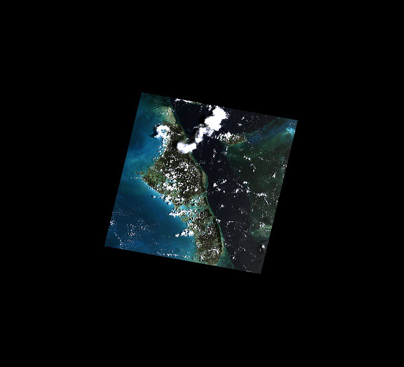
with rasterio.open('rasterio/tests/data/RGB.byte.tif') as src:
transform, width, height = calculate_default_transform(
src.crs, dst_crs, src.width, src.height, *src.bounds)
kwargs = src.meta.copy()
kwargs.update({
'crs': dst_crs,
'transform': transform,
'width': width,
'height': height
})
with rasterio.open('/tmp/RGB.byte.wgs84.tif', 'w', **kwargs) as dst:
for i in range(1, src.count + 1):
reproject(
source=rasterio.band(src, i),
destination=rasterio.band(dst, i),
src_transform=src.transform,
src_crs=src.crs,
dst_transform=transform,
dst_crs=dst_crs,
resampling=Resampling.nearest)
See rasterio/rio/warp.py for more complex examples of reprojection based on
new bounds, dimensions, and resolution (as well as a command-line interface
described here).
It is also possible to use reproject() to create an output dataset zoomed
out by a factor of 2. Methods of the rasterio.Affine class help us generate
the output dataset’s transform matrix and, thereby, its spatial extent.
import numpy as np
import rasterio
from rasterio import Affine as A
from rasterio.warp import reproject, Resampling

with rasterio.open('rasterio/tests/data/RGB.byte.tif') as src:
    src_transform = src.transform

    # Zoom out by a factor of 2 from the center of the source
    # dataset. The destination transform is the product of the
    # source transform, a translation down and to the right, and
    # a scaling.
    dst_transform = src_transform*A.translation(
        -src.width/2.0, -src.height/2.0)*A.scale(2.0)

    data = src.read()

    kwargs = src.meta
    kwargs['transform'] = dst_transform

    with rasterio.open('/tmp/zoomed-out.tif', 'w', **kwargs) as dst:

        for i, band in enumerate(data, 1):
            dest = np.zeros_like(band)

            reproject(
                band,
                dest,
                src_transform=src_transform,
                src_crs=src.crs,
                dst_transform=dst_transform,
                dst_crs=src.crs,
                resampling=Resampling.nearest)

            dst.write(dest, indexes=i)
)
Reprojecting with other georeferencing metadata
Most geospatial datasets have a geotransform which can be used to reproject a dataset from one coordinate reference system to another. Datasets may also be georeferenced by alternative metadata, namely Ground Control Points (gcps) or Rational Polynomial Coefficients (rpcs). For details on gcps and rpcs, see Georeferencing. A common scenario is using gcps or rpcs to geocode (orthorectify) datasets, resampling and reorienting them to a coordinate reference system with a newly computed geotransform.
import numpy as np
import rasterio
from rasterio.warp import reproject
from rasterio.enums import Resampling

with rasterio.open('RGB.byte.rpc.vrt') as source:
    print(source.rpcs)
    src_crs = "EPSG:4326"  # This is the crs of the rpcs

    # Optional keyword arguments to be passed to GDAL transformer
    # https://gdal.org/api/gdal_alg.html?highlight=gdalcreategenimgprojtransformer2#_CPPv432GDALCreateGenImgProjTransformer212GDALDatasetH12GDALDatasetHPPc
    kwargs = {
        'RPC_DEM': '/path/to/dem.tif'
    }

    # Destination: a 1024 x 1024 dataset in Web Mercator (EPSG:3857)
    destination = np.zeros((1024, 1024), dtype=np.uint8)
    dst_crs = "EPSG:3857"

    _, dst_transform = reproject(
        rasterio.band(source, 1),
        destination,
        rpcs=source.rpcs,
        src_crs=src_crs,
        dst_crs=dst_crs,
        resampling=Resampling.nearest,
        **kwargs
    )

    assert destination.any()
Note
When reprojecting a dataset with gcps or rpcs, the src_crs parameter should be supplied with the coordinate reference system that the gcps or rpcs are referenced against. By definition rpcs are always referenced against WGS84 ellipsoid with geographic coordinates (EPSG:4326) [2].